Biting Chills and Icy Patches: Oklahoma City Faces a Frigid Mid-Week Recovery
A Cold Start to the Morning
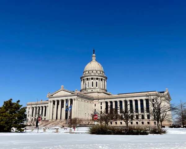
Oklahoma City residents are waking up to a bone-chilling morning this Wednesday, January 28, 2026. Following the historic winter storm that blanketed the region over the weekend, the National Weather Service (NWS) in Norman has reported staggering temperatures. As of 9:52 AM, the official temperature stood at a mere 7°F. However, with north winds gusting at approximately 15 mph, the wind chill factor has plummeted to a dangerous -10°F.
Morning Hazards: Freezing Fog and Black Ice
Commuters are advised to exercise extreme caution during the early hours. A freezing fog advisory remains in effect through mid-morning. This phenomenon is creating dense patches of fog that can significantly reduce visibility and lead to the development of slick spots on roadways and sidewalks. Furthermore, the NWS warns that because temperatures rose briefly above freezing yesterday, the resulting snowmelt is now a major hazard. As temperatures dropped back into the single digits overnight, this moisture has refrozen into a layer of "black ice," which is notoriously difficult to spot while driving.
Afternoon Outlook: Sunny Intervals and Slight Thaw
There is a glimmer of relief expected for the afternoon hours. The morning clouds and fog are predicted to give way to sunny intervals. Forecasters expect the high temperature to climb to approximately 41°F. While this is still well below seasonal averages, it will allow for some additional melting of the record-breaking 4.4 inches of snow that fell on Saturday. Residents should expect mostly clear to partly cloudy skies through the midday period, with the chance of precipitation remaining very low, near 0% to 5%.
Evening and Overnight: The Return of the Deep Freeze
The brief afternoon thaw will be short-lived. As the sun sets this evening, temperatures are expected to retreat rapidly back into the teens and eventually the single digits. The NWS highlights that this temperature swing will once again turn any slush or standing water back into solid ice. Winds will shift slightly, coming from the southwest at 5 to 10 mph, but the lack of significant cloud cover will allow heat to escape the surface quickly. Lows overnight are expected to hover around 14°F, though some outlying pockets may slip even lower.
Safety Recommendations
- Road Safety: Assume all wet-looking patches on the road are black ice. Maintain extra following distance.
- Protecting Property: Keep pipes wrapped and allow faucets to drip, as the sustained sub-freezing temperatures pose a high risk for bursts.
- Personal Safety: Dress in multiple layers if spending any time outdoors. With wind chills remaining in the negatives or low single digits, frostbite can occur on exposed skin in a short amount of time.