Bitter Cold Grips the Metro: OKC Braces for Sub-Zero Wind Chills
Frigid Start with Cold Weather Advisory
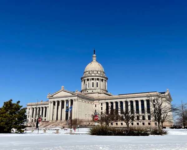
Oklahoma City is waking up to a bone-chilling conclusion to the month as a blast of arctic air has settled firmly over the region. The National Weather Service in Norman has placed the metro area under a Cold Weather Advisory that remains in effect through 11:00 AM this morning. Early risers are facing actual temperatures near 12°F, but the real hazard lies in the wind. Breezy north winds sustained at 20 to 25 mph are driving wind chill values down to between 0°F and -10°F. Residents are urged to limit time outdoors and ensure that all exposed skin is covered to prevent frostbite during these peak morning hours.
Afternoon Outlook: Below-Freezing Highs
While the sun may attempt to break through the cloud deck by midday, it will offer little in the way of warmth. The afternoon high for Saturday is expected to reach only 26°F to 28°F, keeping the city well below the freezing mark for the duration of the day. Skies will remain mostly cloudy through the mid-afternoon, providing a grey and gloomy backdrop to the icy conditions. Although the chance of measurable snowfall is slim—estimated at only 10% during the day—the biting wind will persist, keeping the "feels like" temperature in the single digits or low teens until sunset.
Evening and Overnight Conditions
As we transition into the evening hours, the cloud cover is projected to clear, leading to a frigid but starry night. This clearing will trigger significant radiational cooling, causing temperatures to plummet once again. We expect an overnight low of approximately 10°F to 12°F. While the winds are forecasted to diminish slightly after dark, the standing cold will be intense. The National Weather Service reminds residents to check on neighbors and ensure that pets have been brought indoors, as these double-digit lows are hazardous for animals left outside.
Historical Context and Looking Ahead
Today’s deep freeze stands in stark contrast to Oklahoma’s weather history. Interestingly, the warmest temperature ever recorded in the state for the month of January occurred on this very date in 1911, when Oklahoma City reached a record high of 83°F. Today’s reality is nearly 60 degrees colder. However, there is a silver lining for those eager for a thaw: a warming trend is on the horizon. A shift in the weather pattern will bring milder air from the Pacific Northwest starting Sunday, with temperatures expected to climb back into the 50s by early next week.