Gusty Winds and High Fire Risks: A Warm Wednesday Forecast for Oklahoma City
Gusty Winds and High Fire Risks: A Warm Wednesday Forecast for Oklahoma City
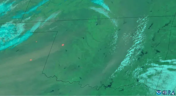
Oklahoma City is experiencing an unseasonably warm and windy Wednesday, February 18, 2026. While the spring-like temperatures may seem inviting to those looking to spend time outdoors, local meteorologists have issued serious warnings regarding critical fire weather conditions across the metro area. With temperatures soaring well above seasonal averages and humidity levels dropping into the danger zone, the primary concern today is not precipitation, but the high potential for rapid wildfire spread.
Morning: A Mild and Breezy Start
The day began with relatively mild conditions for mid-February, with early morning temperatures hovering around 56 degrees Fahrenheit. Under partly cloudy skies, the city saw a quick climb in mercury as the sun rose. By mid-morning, the cloud cover began to break, giving way to sunshine. However, the pleasant temperatures were accompanied by a noticeable shift in wind speed, as southerly breezes began to pick up across central Oklahoma, signaling the arrival of a dry air mass.
Afternoon: Peak Heat and Red Flag Warnings
By early afternoon, Oklahoma City is projected to reach a high of approximately 75 degrees Fahrenheit. This temperature spike, combined with extremely dry air, has prompted the National Weather Service to highlight near-critical fire weather conditions. The following data points are essential for residents to monitor throughout the afternoon:
- Wind Speeds: Sustained south winds are expected at 25 mph, with occasional gusts reaching as high as 33 mph.
- Humidity Levels: Relative humidity is forecast to drop as low as 22%, making fuels like dry grass and brush highly combustible.
- Safety Alerts: A Red Flag Warning or Fire Weather Watch is in effect. Residents are strongly urged to avoid any outdoor burning, as even a small spark can ignite a fire that the wind could spread out of control within minutes.
Evening: Clear Skies and Cooling Temperatures
As the sun sets, the gusty conditions are expected to remain, though sustained wind speeds may settle slightly after dark. The sky will clear significantly, leading to a crisp and starry night. Temperatures will descend from the afternoon highs to an overnight low of 47 degrees Fahrenheit. While the fire risk will marginally decrease as humidity levels recover overnight, the dry spell is expected to persist into the remainder of the week. Residents are encouraged to remain vigilant, properly dispose of smoking materials, and ensure that any trailer chains are not dragging, as these are common causes of accidental roadside fires during such wind events.