Oklahoma rain chances build late week, with thunderstorms possible Friday night through Saturday statewide
Rain returns after a mild midweek, with a more active pattern late week
Oklahoma is expected to see increasing rain chances later this week, with the highest likelihood arriving Friday and continuing into Saturday as a storm system moves across the Southern Plains. Forecast offices covering Oklahoma indicate that conditions should remain relatively quiet through midweek before the pattern turns wetter toward the end of the workweek.
Current outlooks show precipitation developing late Thursday into Friday in parts of the state, then becoming more widespread Friday night. Rain and embedded thunderstorms are expected to persist into Saturday before tapering off late Saturday night.
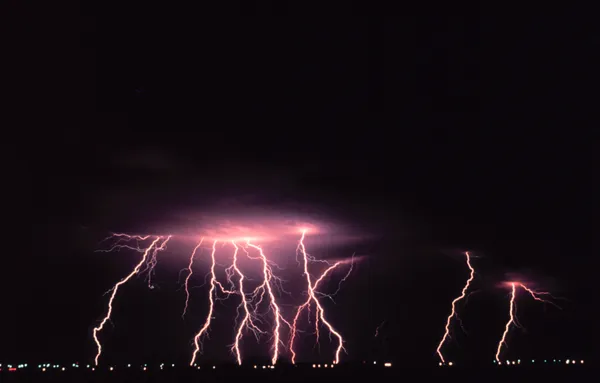
Thunderstorms and localized heavy rain are the primary concerns
Forecast discussions highlight two main hazards: thunderstorms and pockets of heavier rainfall. While not every community will see the same totals, forecasters note uncertainty in exact amounts, with many locations still likely to receive at least measurable rainfall as the system crosses the region.
In eastern Oklahoma and adjacent areas near the Arkansas border, forecast messaging emphasizes high rain chances Friday and Saturday, along with potential thunderstorms. In central and western Oklahoma, rain chances are also expected to increase late week, with the possibility of heavier bursts of rain most likely Friday night into Saturday.
Timing: Rain chances rise late Thursday into Friday, peak Friday night through Saturday, then diminish Saturday night.
Main hazards: Periods of rain, thunderstorms, and localized heavy downpours.
Flood context: The potential for excessive rainfall is being monitored, but dry ground conditions in some areas may limit overall impacts. Flood-prone locations remain the most susceptible to problems if heavier bands set up.
Where impacts may be most noticeable
Forecast information for eastern Oklahoma points to the possibility of more persistent rainfall Friday night through Saturday, with an emphasis on monitoring conditions along and south of Interstate 44 for any heavier rainfall bands. Even when river flooding is not anticipated, short-term issues can develop in low-lying or poor-drainage areas during stronger downpours.
Residents planning travel, outdoor events, or weekend activities may need to account for changing conditions and periods of rain, especially from Friday evening into Saturday.
What to watch as the forecast is refined
Forecasters will continue narrowing details on rainfall totals, thunderstorm coverage, and the corridor most likely to see heavier rain. As the system nears, updates may change the expected timing or the areas with the greatest impact. Oklahomans are encouraged to monitor official forecasts and any watches or advisories that may be issued later in the week.