Oklahoma’s Coldest Temperature Record and Whether Late-January 2026 Cold Could Set New Marks Statewide
Oklahoma’s statewide record low remains unchanged since 2011
Oklahoma’s coldest officially recognized air temperature on record is −31°F, measured on Feb. 10, 2011 at the Oklahoma Mesonet station near Nowata in the state’s northeast. The value is listed as the state’s official minimum-temperature record in the Oklahoma Climatological Survey’s statewide records table and is also documented in National Weather Service event summaries from that February 2011 cold wave.
That 2011 record was set after a major winter storm laid down widespread snow across parts of the state. With snow on the ground, clear skies and light winds allowed overnight temperatures to fall sharply, producing multiple record lows in Oklahoma and the surrounding region. Historical summaries also show that the prior statewide benchmark was −27°F, set at Vinita in February 1905 and matched at Watts in January 1930; several locations reached −27°F again during the Feb. 2011 outbreak.
City records differ from the statewide record
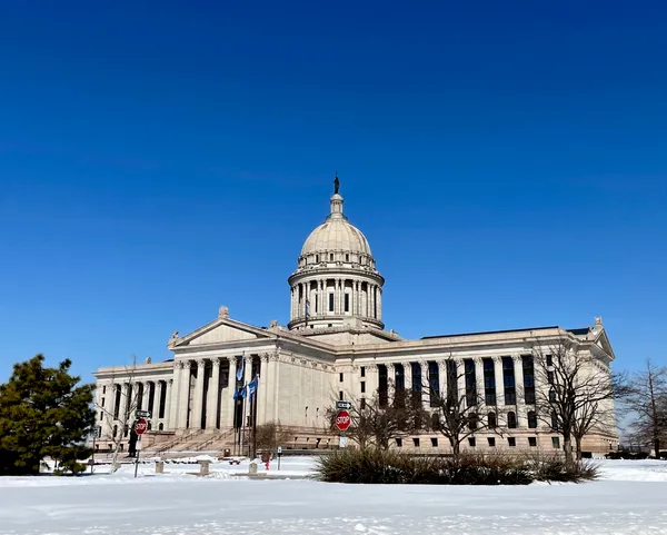
Statewide records can differ substantially from records in Oklahoma’s largest cities. In Oklahoma City, the all-time record low temperature is −17°F, set on Feb. 12, 1899. That date aligns with the well-documented late-19th-century cold outbreak across the southern Plains and the Deep South, a period that established numerous long-standing temperature extremes across the central United States.
These distinctions matter when evaluating whether a current cold spell could be “record-breaking.” A forecast may be capable of challenging daily records, monthly records, or city records without approaching the statewide all-time minimum.
What the late-January 2026 cold could break: daily records and ‘cold highs’
Late January 2026 brought a significant winter storm to Oklahoma and a surge of Arctic air behind it. In the western Panhandle, Kenton recorded a low of −12°F on Jan. 26, 2026, establishing a new record low for that calendar date at that location. Meteorological conditions accompanying the cold included broad snow and ice coverage, which can enhance nighttime cooling and can also suppress daytime warming.
In addition to overnight lows, forecasters also watch for “lowest maximum temperature” records—days when the afternoon high remains unusually low, sometimes failing to rise above freezing. Those records are distinct from minimum-temperature records and can be set during prolonged cloud cover, strong cold-air advection, and persistent snowpack.
How to assess whether this week can threaten the all-time state record
The statewide all-time minimum (−31°F) is exceptionally rare and has stood since Feb. 10, 2011.
Challenging that benchmark typically requires a combination of deep Arctic air, widespread snow cover, clear skies overnight, and light winds—especially in areas prone to strong radiational cooling.
Even when the statewide record remains out of reach, Oklahoma can still set meaningful extremes, including daily record lows and record-cold daytime highs.
Record cold in Oklahoma is measured on several scales—statewide, regional, and city-based—and the thresholds for “record-breaking” vary widely depending on which record is being evaluated.