Severe thunderstorms expected in Oklahoma on Tuesday as another multi-day storm system crosses the Plains
Another round of severe weather is forecast for Tuesday across parts of Oklahoma
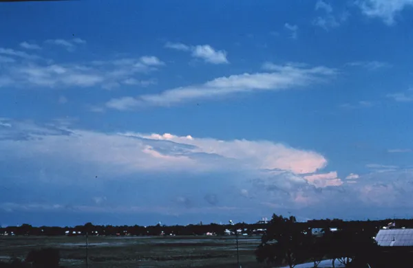
Oklahoma is expected to face another period of potentially severe thunderstorms on Tuesday, March 10, 2026, as a new storm system moves across the Southern Plains and into the central United States. Forecast guidance indicates the state will again be positioned near a corridor favorable for strong storms capable of producing large hail and damaging winds, with a tornado risk also possible depending on how storms develop and organize.
The timing and intensity of Tuesday’s threat will depend on storm initiation and how quickly storms consolidate into clusters or lines after forming. In similar early-March setups, the most intense hazards often occur where warm, humid air near the surface overlaps with strengthening winds aloft—conditions that can support rotating storms and fast-moving severe lines.
Storm threat comes days after deadly March 5–6 storms in Oklahoma
The renewed forecast arrives as parts of the state continue response and recovery work following severe weather on March 5–6. The Oklahoma State Emergency Operations Center activated on Thursday, March 5, ahead of the severe weather risk that extended into Friday. On Saturday, March 7, Gov. Kevin Stitt declared a state of emergency for eight counties: Alfalfa, Creek, Grant, Major, Okmulgee, Rogers, Tulsa and Wagoner.
State officials reported four fatalities tied to the March 5–6 event, with two deaths confirmed in Beggs in Okmulgee County and two deaths confirmed in Major County. Emergency management also reported seven preliminary tornado tracks from March 6, along with scattered structural damage, downed power lines, flash flooding and water rescues in multiple jurisdictions.
What to watch for Tuesday: hail, wind, and localized flooding
While exact impacts will vary by location, the primary threats commonly flagged with the Tuesday setup include:
Large hail from the strongest storms, especially if storms remain discrete and rotating.
Damaging straight-line winds if storms organize into bowing segments or lines.
Isolated tornado potential where rotating storms form in the most favorable environment.
Localized flash flooding in areas that receive repeated rounds of heavy rain.
Damage assessments, debris cleanup, and power restoration from last week’s storms were still ongoing over the weekend, underscoring how quickly overlapping storm cycles can strain local response capacity.
Preparedness and response context
After the March 5–6 storms, state and local agencies coordinated search-and-rescue, damage assessments, and mass-care support. Residents in impacted areas were asked to report damage to help officials prioritize response and recovery needs. With another round of storms possible Tuesday, emergency managers typically urge residents to review shelter plans, ensure multiple alert methods are available overnight, and avoid flooded roads during heavy rain.
Additional storm chances are expected beyond Tuesday as the broader active pattern continues across the region into midweek.

Oklahoma governor’s call to end medical marijuana raises questions about costs, patients, and state revenues
Teen hospitalized after pre-dawn shooting in northwest Oklahoma City as police report no arrests
Mayor David Holt Unveils 'Healthy City 2040' Roadmap at Wellness Summit