Spring-Like Warmth and Shifting Skies: Oklahoma City’s Dynamic Saturday Outlook
Unseasonable Warmth Dominates the Metro
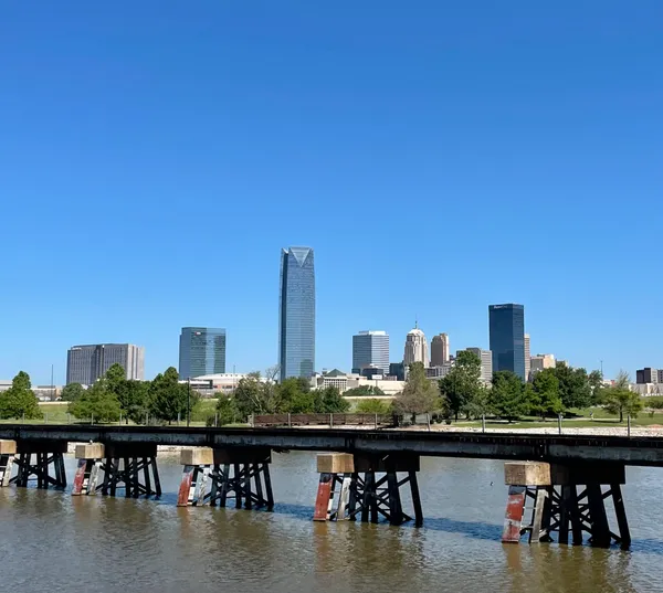
Oklahoma City is closing out the month of February with a surprising surge of warmth that feels more like mid-April than late winter. Today, Saturday, February 28, 2026, residents can expect a significant departure from the typical February chill, as a thermal ridge moves across the plains. While the early morning hours started with a cool and crisp foundation, the mercury is set to climb rapidly, providing a perfect backdrop for outdoor weekend plans before a more unsettled pattern begins to emerge later tonight.
A Bright and Sunny Morning Transition
The morning kicked off with mostly clear skies and a gentle north-northeasterly breeze around 8 mph. As the sun rose over the city, temperatures began a steady ascent from an overnight low of 54°F. For those heading out to early morning errands or a jog along the Oklahoma River, the air remains dry with humidity levels sitting comfortably around 38%. The sun will remain the dominant feature through the noon hour, though a few high-altitude clouds may begin to drift in from the west as the atmosphere begins its shift toward a more humid profile.
Afternoon Peaks and Gentle Breezes
As we head into the heart of the afternoon, Oklahoma City is forecasted to reach a high of 81°F. This peak is exceptionally warm for this time of year, encouraging many to shed their winter coats in favor of light sleeves. Winds will remain relatively calm, oscillating between 8 and 12 mph from the north-northeast. This light airflow will prevent the afternoon from feeling overly stagnant, even as the sun remains intense. It is a prime day for patio dining or visiting local parks, as the risk of precipitation remains very low—around 15%—during the daylight hours.
Evening Clouds and Scattered Rain Chances
The weather story begins to change as the sun sets. Conditions will transition from sunny to mostly cloudy by the late evening. While the daytime was dry, the National Weather Service indicates that an active weather pattern is moving into Central Oklahoma. Residents should be prepared for scattered rain and potentially a few isolated thunderstorms developing after dark. The chance of precipitation rises to approximately 25% overnight. Temperatures will stay relatively mild, only dipping back toward the mid-50s, but the increasing humidity and cloud cover signal a more humid and unsettled Sunday ahead.
- High Temperature: 81°F
- Low Temperature: 54°F
- Humidity: 36% - 38%
- Wind: NNE at 8-12 mph
- Precipitation Chance: 15% day / 25% night

Greater Oklahoma City Chamber weighs State Question 843 proposal to phase out homestead property taxes statewide

Oklahoma victim service providers brace for reduced VOCA aid as federal Crime Victims Fund contracts

Oklahoma City Boards Tackle MAPS 4 Progress and Zoning Adjustments Today