Sunlight Returns but the Shiver Stays: OKC Begins Slow Recovery from Winter Blast
Morning: A Bright but Bitter Start
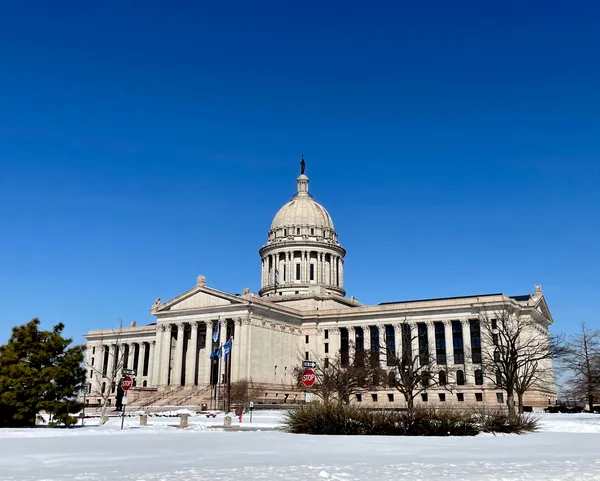
Oklahoma City residents waking up this Sunday, February 1, 2026, were greeted by clear blue skies, though the visual warmth of the sun is deceptive. Following a historic winter storm that gripped the region over the weekend, the morning began with bone-chilling temperatures hovering near 20°F. With residual winds from the departing system gusting at approximately 14 to 15 mph, the wind chill factor has made it feel closer to a staggering 10°F. Despite the sunshine, the significant snow and ice accumulations from the previous days remain largely frozen across the metro area.
Afternoon: The Struggle for a Thaw
As we move into the afternoon hours, the National Weather Service indicates that the predicted “warming trend” is off to a sluggish start. While long-range forecasts suggested a return to seasonal norms in the 50s, real-time observations as of 2:52 PM CST show the mercury struggling to climb, sitting stubbornly at just 21°F. The sky has transitioned from the clear conditions seen earlier today to a mostly cloudy ceiling. This cloud cover is expected to act as a lid, preventing much of the solar radiation from reaching the surface and keeping the afternoon highs far below the typical February average of 37°F.
Evening and Overnight: The Cold Watch Continues
Expect skies to clear once again as the sun goes down this evening. Temperatures will likely dip back toward the low 20s and high teens. The lack of cloud cover overnight will facilitate radiational cooling, ensuring that any slush from the daytime’s minor melting will refreeze into dangerous black ice on neighborhood streets and sidewalks. Residents are encouraged to remain cautious during any evening travel, as the thaw is not expected to truly take hold until the upcoming work week.
Alerts and Safety Advisories
The transition today marks a significant shift in active weather alerts. The following notices are currently in place for the Oklahoma City area:
- Winter Storm Warning: This warning, which saw heavy snow totals of 8 to 11 inches in some parts of the city, officially expired at noon today.
- Extreme Cold Watch: While the heavy precipitation has ended, a watch for extreme cold remains in effect through Monday morning. Dangerously low wind chills remain the primary concern.
- Precipitation: There is currently a 0% chance of further rain or snow for the remainder of the day.
Meteorologists note that while today feels exceptionally harsh, it echoes the record-setting blizzard of February 1, 2011. Fortunately, the current system is moving out, and while today remains a “shiver day,” the foundation for a significant warmup is being laid for Monday and Tuesday.