Timeline shows Arctic air arriving in Oklahoma this weekend, raising risks of ice, snow and travel hazards
Cold air poised to move in after a brief warmup
Forecasters are tracking an Arctic push expected to reach Oklahoma late this weekend, shifting the state from seasonable conditions into a stretch of below-freezing temperatures that may last into early next week. The setup includes two primary concerns: a rapid temperature drop that can create hazardous road conditions and a window for wintry precipitation—mainly light snow or freezing drizzle—depending on how moisture overlaps with the cold air.
In the days leading up to the change, parts of Oklahoma can see relatively mild daytime temperatures. The transition is expected to begin late Saturday as the front advances south, with impacts most noticeable on Sunday as highs struggle near freezing in many locations and wind chills fall into single digits in the morning.
Timeline: what changes day by day
Friday: Milder conditions linger. Some areas may see light rain before the cold air arrives.
Late Saturday into Sunday: The Arctic front pushes into the state. Temperatures fall quickly, raising the risk that any lingering moisture freezes on contact, especially on bridges and elevated roadways. Wind chills drop sharply.
Sunday through Tuesday: Many areas remain at or below freezing for daytime highs, with the coldest mornings likely Sunday and Monday. Periodic chances for light wintry precipitation continue, with the best potential for measurable snow typically favored in northern and western Oklahoma.
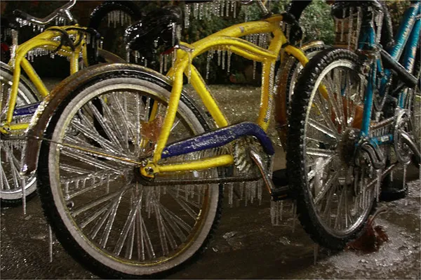
Even when totals are small, freezing drizzle and rapid temperature drops can create patchy ice—often the most disruptive winter hazard for drivers.
Why small amounts can still create big impacts
Snow forecasts in Oklahoma often hinge on small shifts in storm track and timing. If the cold air arrives before the moisture exits, precipitation can change from rain to freezing drizzle or snow. A thin glaze on untreated surfaces can be enough to slow traffic, increase crashes, and disrupt school and work schedules, particularly during morning commutes when temperatures are lowest.
Road crews prepare; drivers urged to plan for bridges and overpasses first
State transportation crews routinely pretreat elevated road surfaces with salt brine when conditions allow and stage trucks for sanding and salting as temperatures fall. Officials emphasize that pretreatment helps reduce bonding of ice to pavement but does not prevent all accumulation. Drivers are typically advised to reduce speed, increase following distance, and give road-treatment equipment wide clearance—especially on interstates, turnpikes, and major corridors.
Energy demand likely to rise during the cold stretch
Extended subfreezing periods can drive up electricity and natural gas demand across the region. Grid operators in the Plains have previously issued weather advisories during extreme cold to heighten awareness of higher demand and potential equipment issues. Residents are generally encouraged to prepare for cold-weather safety—protecting pipes, checking heating systems, and monitoring local alerts—while keeping travel plans flexible through early next week.